8-12 Inches Of Freshies On The Way
Vermont is about to get hit with 8 inches of snow or more. That means it’s probably time for you to start “developing a cold.”
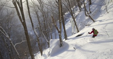
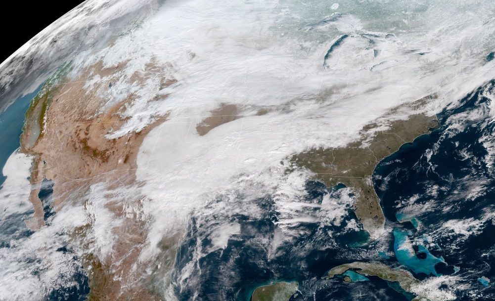
Time to break out the powder snorkels: your prayers to Ullr have been answered. Winter storm Liam 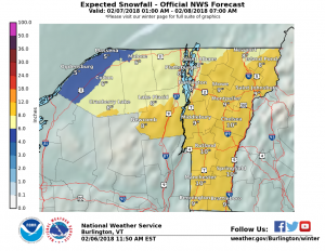 pounded the midwest on Tuesday, and now it’s coming for us. While National Weather Service has issued a less urgent “winter storm watch” for the rest of New England, the entire state of Vermont has an official warning.
Eight to 12 inches of freshies are expected to fall between the hours of 8 a.m. on Wednesday and 1 a.m. on Thursday. Northern Vermont will see the most snow, along with north and central regions of the Champlain Valley and the northern Adirondacks. The heaviest snowfall will occur between noon and 7 p.m. on Wednesday.
The National Weather Service warns that driving conditions will be hazardous, so take care on the roads if you’re chasing the pow. We’ll see you out there.
Update: here are the snow totals, as reported by Ski Vermont on Thursday morning:
- Stratton Mountain Resort:15″ in the past 24 hrs
- Bromley Mountain Resort: 13″- 15″ in the past 24 hrs
- Burke Mountain: 14″ in the past 24 hrs
- Jay Peak Resort: 12″- 14″ in the past 24 hrs
- Killington Resort: 13″ in the past 24 hrs
- Pico Mountain: 13″ in the past 24 hrs
- Suicide Six: 13″ in the past 24 hrs
- Mad River Glen: 10″- 12″ in the past 24 hrs
- Magic Mountain: 10″- 12″ in the past 24 hrs
- Okemo Mountain Resort: 10″- 12″ in the past 24 hrs
- Bolton Valley: 8″- 12″ in the past 24 hrs
- Sugarbush Resort: 10″ in the past 24 hrs
- Smugglers’ Notch Resort: 8″- 10″ in the past 24 hrs
- Mount Snow Resort: 8″ in the past 24 hrs
- Stowe Mountain Resort: 8″ in the past 24 hrs
Photo and graphics courtesy of the National Weather Service.